KML to TopoJSON converter - Online Converter - Free Download
A free online GIS programme that converts KML to TopoJSON.
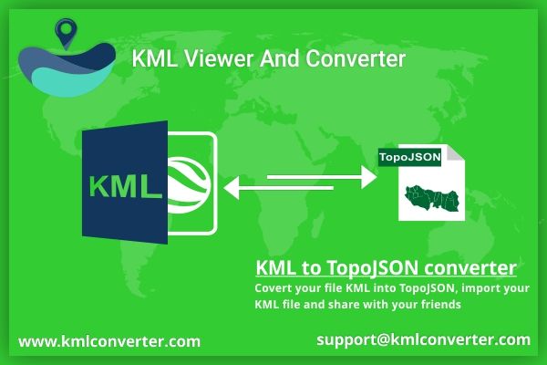
If you want to convert your KML to TopoJSON, the first step is to understand what a KML file and a TopoJSON file are and how to convert them. Here you may learn about KML and TopoJSON, as well as how to convert KML files in simple stages.
What is KML ( keyhole markup language )?
A KML file is a geographical data file type based on XML. KML is made up of both feature and raster elements, such as points, lines, and polygons, as well as content such as graphics, photos, and characteristics. In ArcGIS, all of the geographical data and this dataset are normally stored as homogeneous elements. A single KML file can contain a variety of features as well as pictures. That KML file is largely utilized by the Google Earth application, but it is also used by other mapping systems.
A KML file has the extensions.KML and.KMZ. Google's keyhole, Inc. created that KML. KML is a file format for geographic and information systems. KML is an extended form based on XML. KML is a format for sharing geographical data with non-GIS users since it can be supplied easily over the internet and viewed in a variety of free applications. This file is for KML files that have been compressed or zipped. The KML file is first compressed and then transformed into a compatible file format.
What is TopoJSON?
TopoJSON is a JSON format used to encode a graphical data structure into a shared topology. Arcs are a succession of various positions shared by TopoJSON technology. TopoJSON is a GeoJSON extension. Line, triangle, polygon, multi-polygon, multi-string, and multiline string are some of the geometric shapes in TopoJSON. To encode geographical data, TopoJSON may use additional characteristics.
Geometries in TopoJSON files are stitched together from shared line segments termed arcs, with TopoJSON files representing geometries discretely. The export format and technique are comparable to Matt Bloch's map shopper. TopoJSON allows related geometrics to be stored efficiently in the same file, eliminating redundancy.
The shared border between California and Nevada, for example, is displayed once rather than twice for both states. Multiple feature collections, such as states and nations, can be contained in a single TopoJSON file without duplication. Both polygon and boundary can be efficiently represented in a TopoJSON file as two feature collections that share the same mesh. TopoJSON may store all geographic data and use polygons, stringing, and other techniques.
GeoJSON is less compatible than TopoJSON. Both TopoJSON and GeoJSON are simple to import into a text editor. Geographical data is converted from TopoJSON. Both TopoJSON and GeoJSON can be compressed with gzip before being worked on.
How to convert KML into TopoJSON format?
If you have a KML file that is giving you a headache and you want to convert it to a compatible file format, you don't have to worry about it. Many online solutions are accessible to convert and read your KML file on the market. Those converters merely convert it to your preferred file format.
How does KML to TopoJSON Converter work?
You can import your KML file and view it here. Select the KML file that you want to convert to TopoJSON format. Then select the TopoJSON format for conversion. You've now shown an instant preview of your TopoJSON file. If you need to share your TopoJSON file with your friends, you may do so by clicking the share button and sending it to them. And you've finished converting your KML file to TopoJSON format. Simple and straightforward to use.
Also Check This Top Blogs
| How To Hire the Right App Development Company in India
| Best Free Cycling App on Android & iOS
| How To Create Quotes USing QuoteMaker App
| Innovative and Inspiring Augmented Reality Examples in 2021
| Measure The Distance Between Two Places With Area Calculator
Posted 6 years ago by